Caño Martín Peña
US Environmental Protection Agency (EPA)
San Juan, Puerto Rico
2016
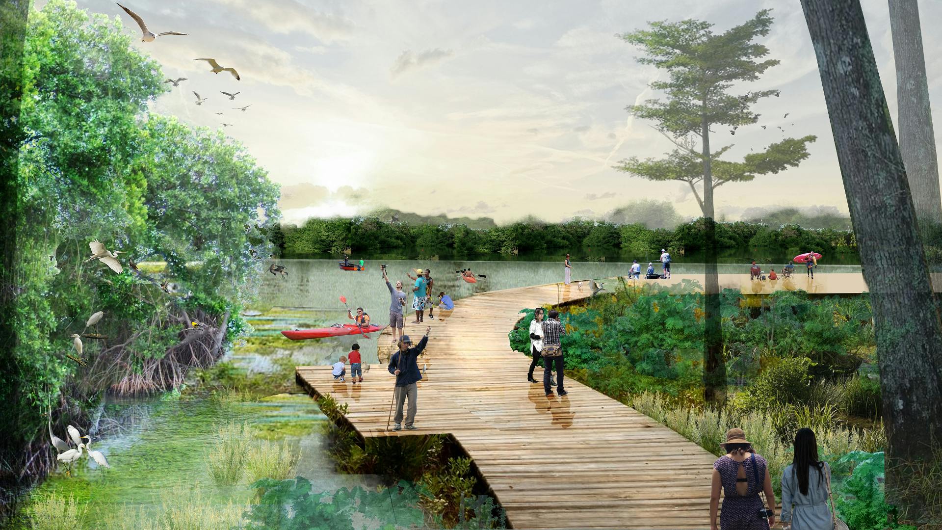
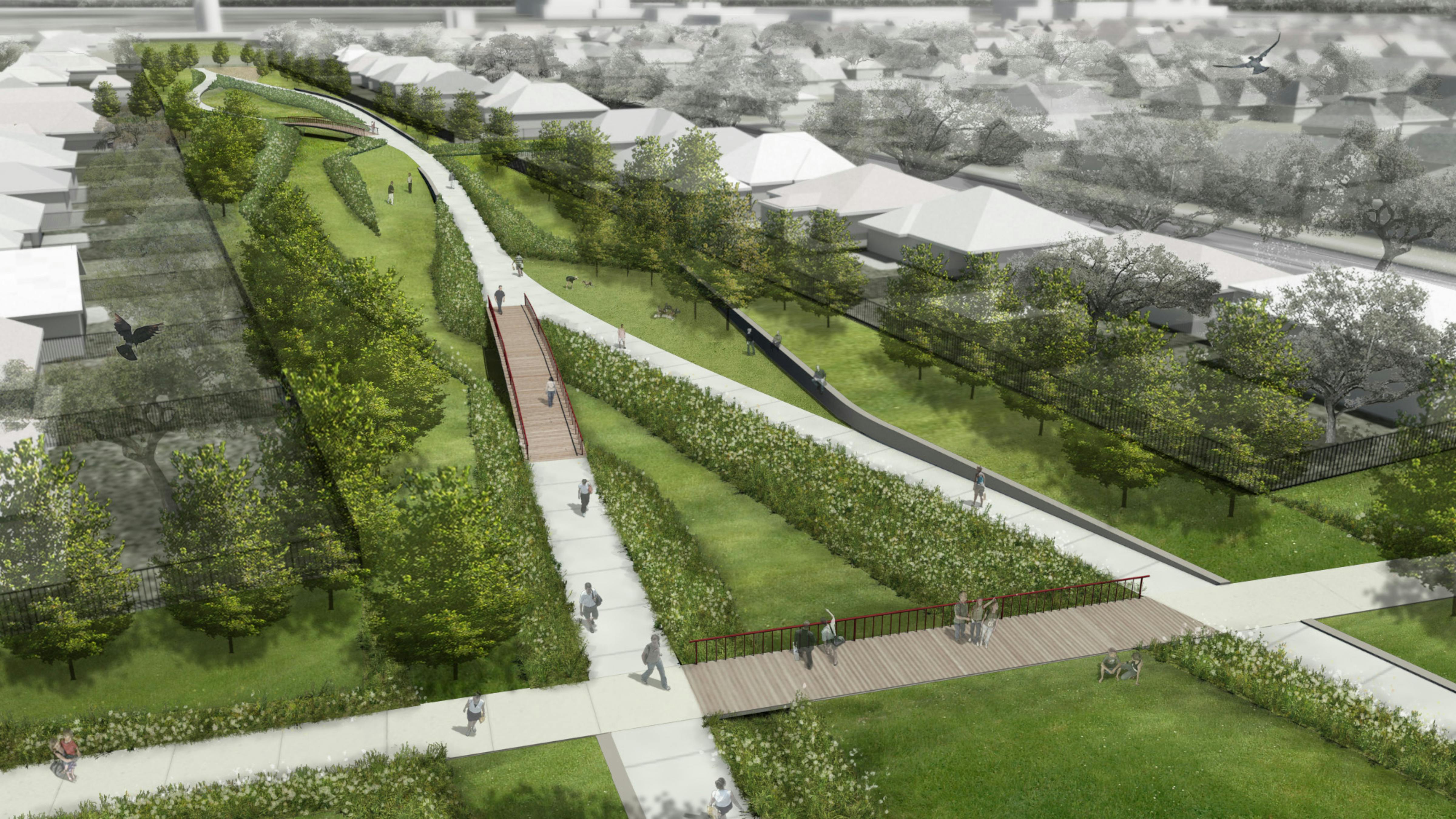
The proposed boardwalk and plaza design along the caño allows for adequate space for everyday activities and community events.

Partners
Engagement Team
Tamara Orozco Rebozo
Shaney Peña Gomez
Awards
2021 ASLA Louisiana Honor Award for Analysis and Planning
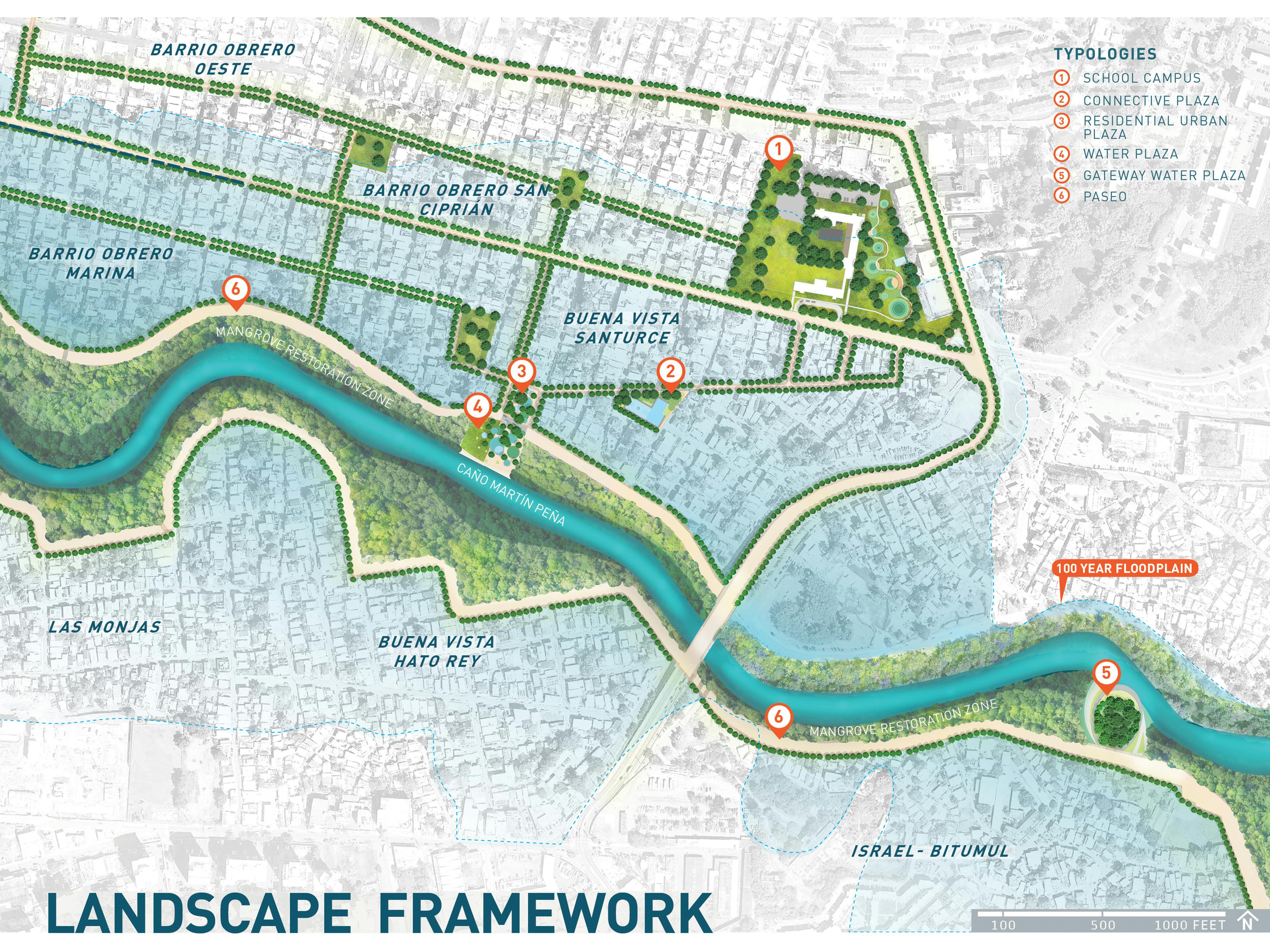
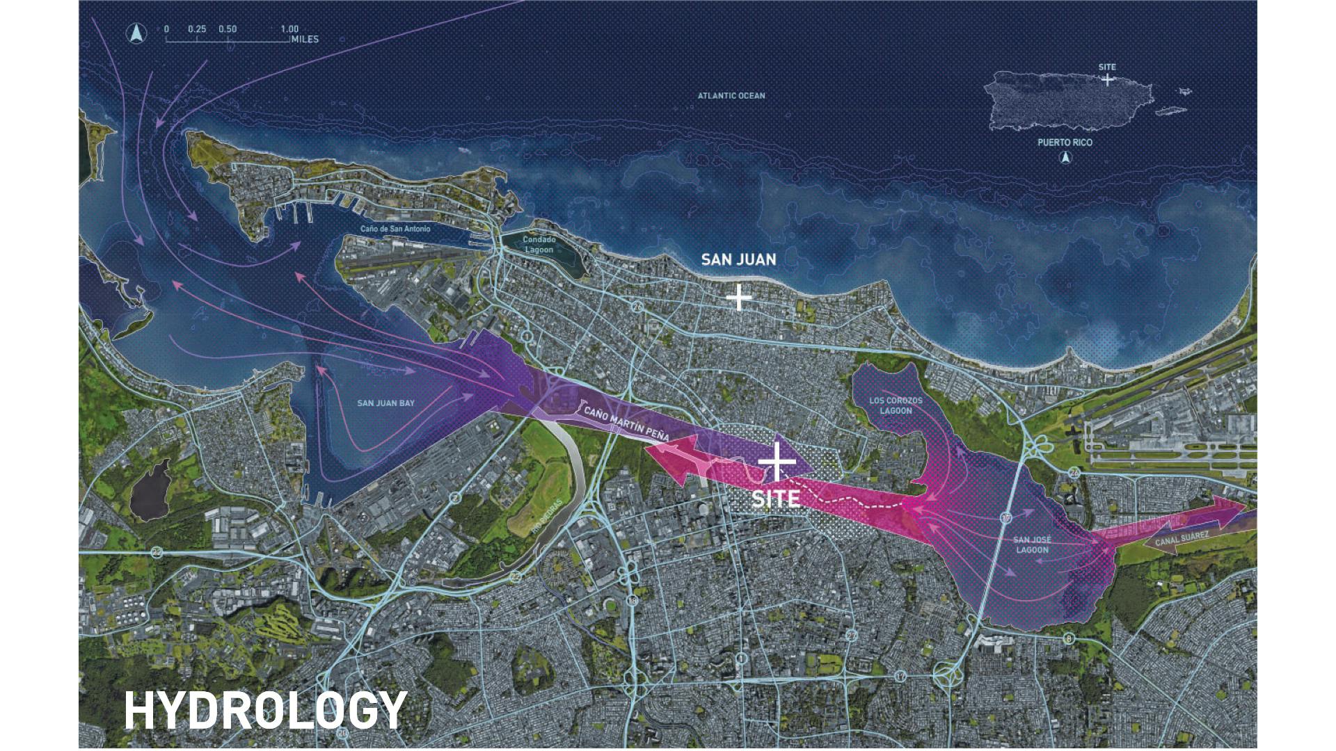
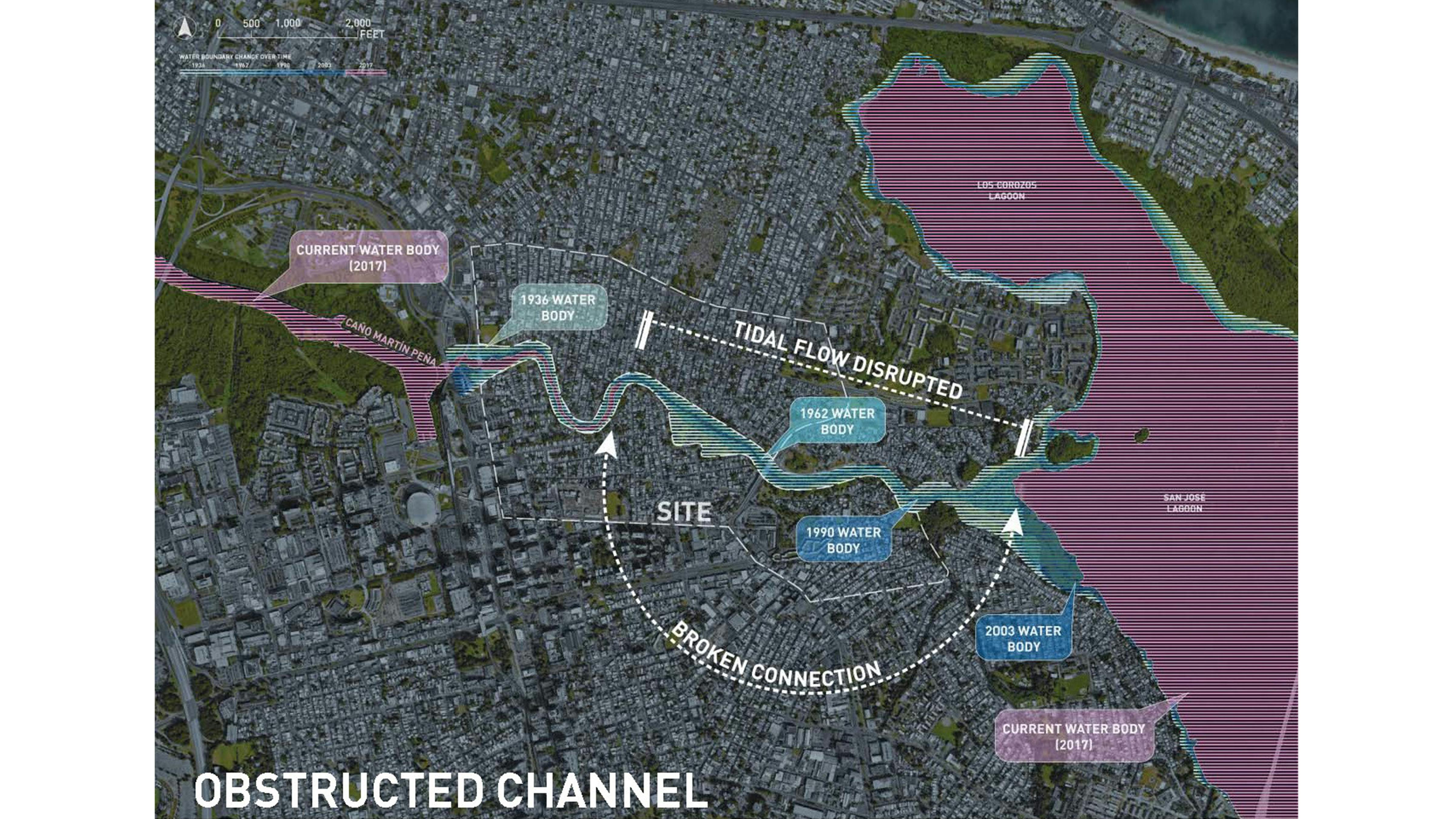
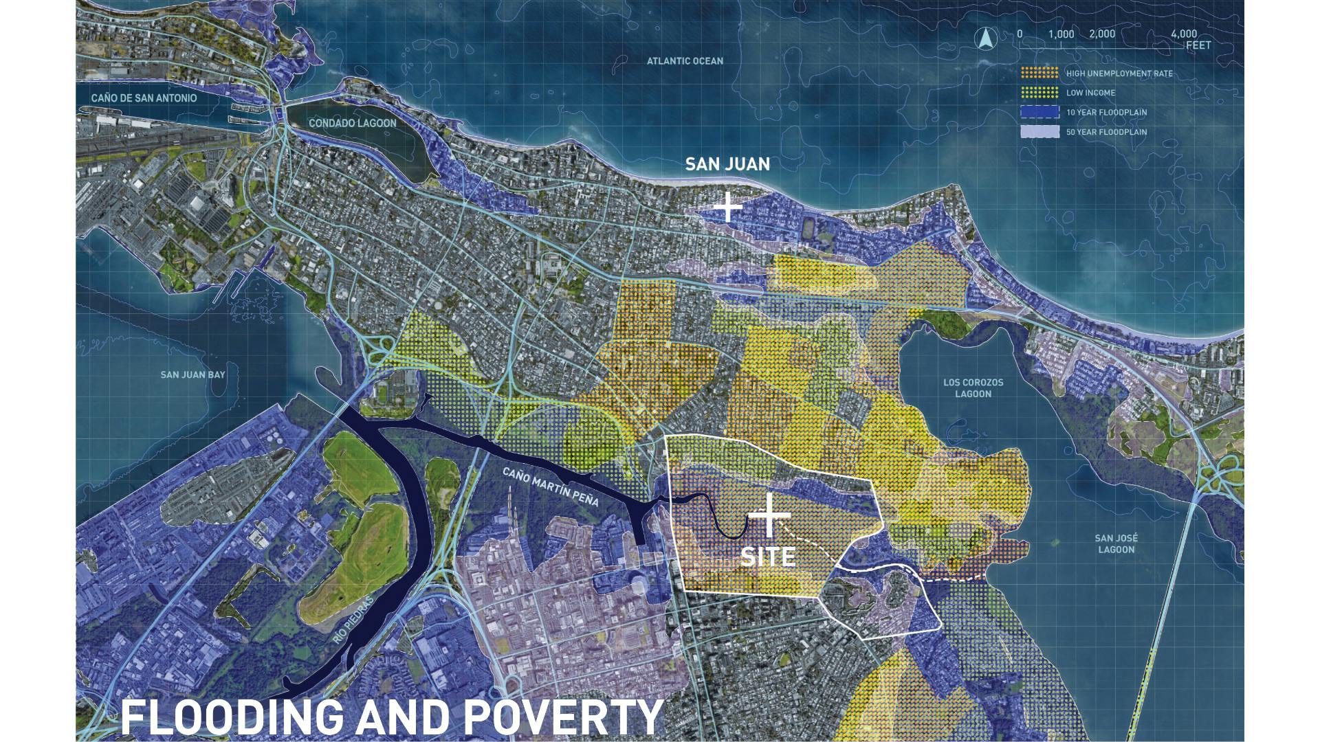
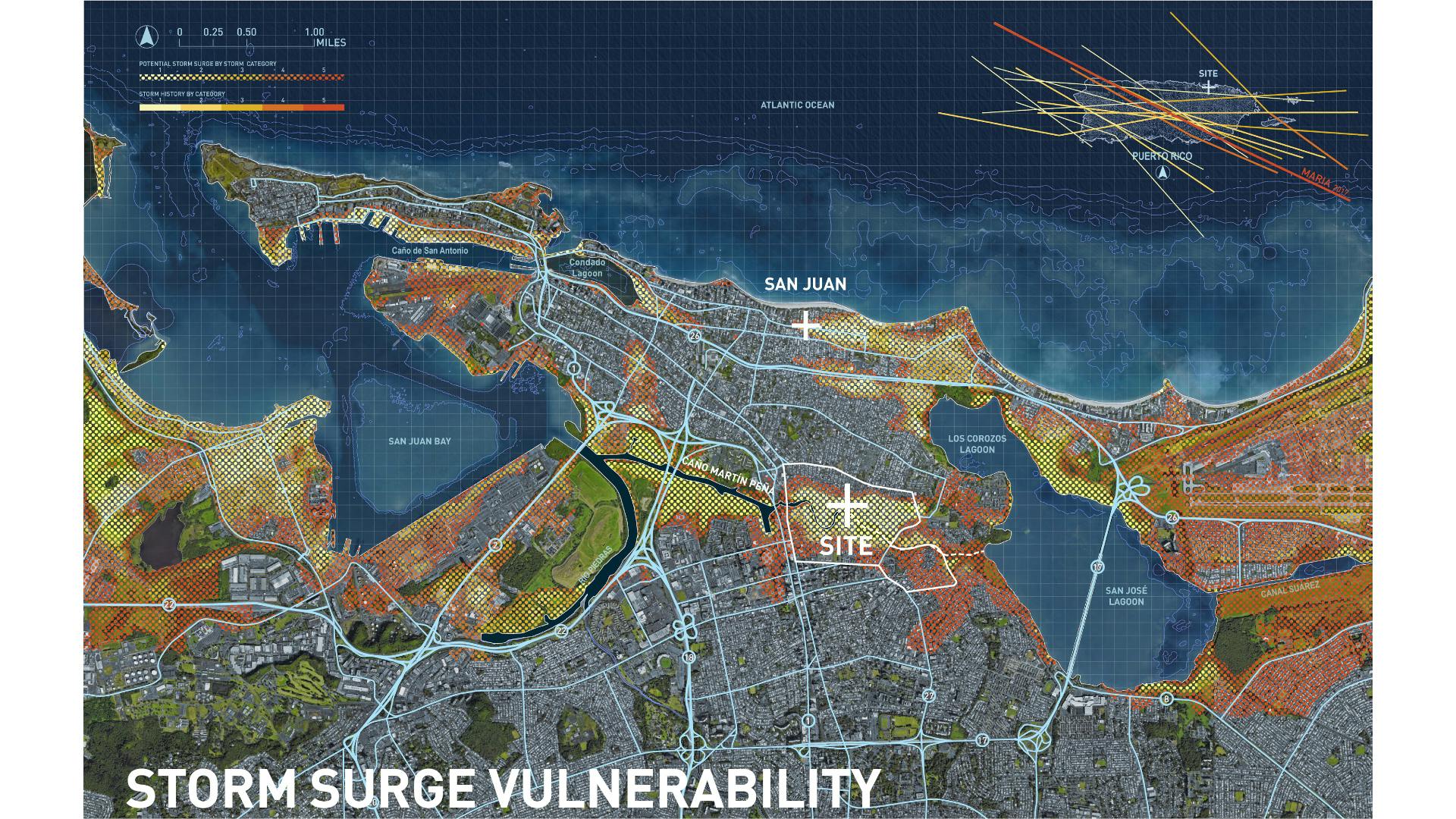
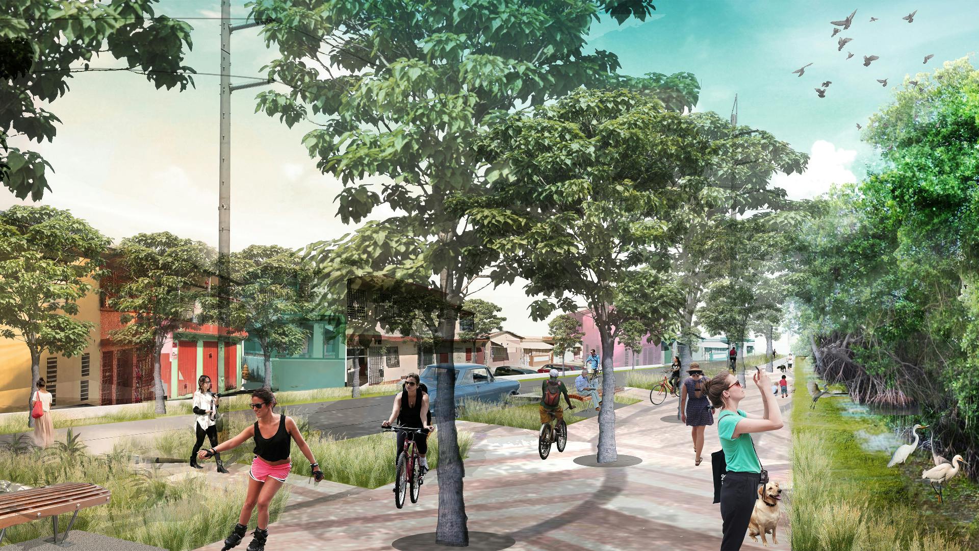
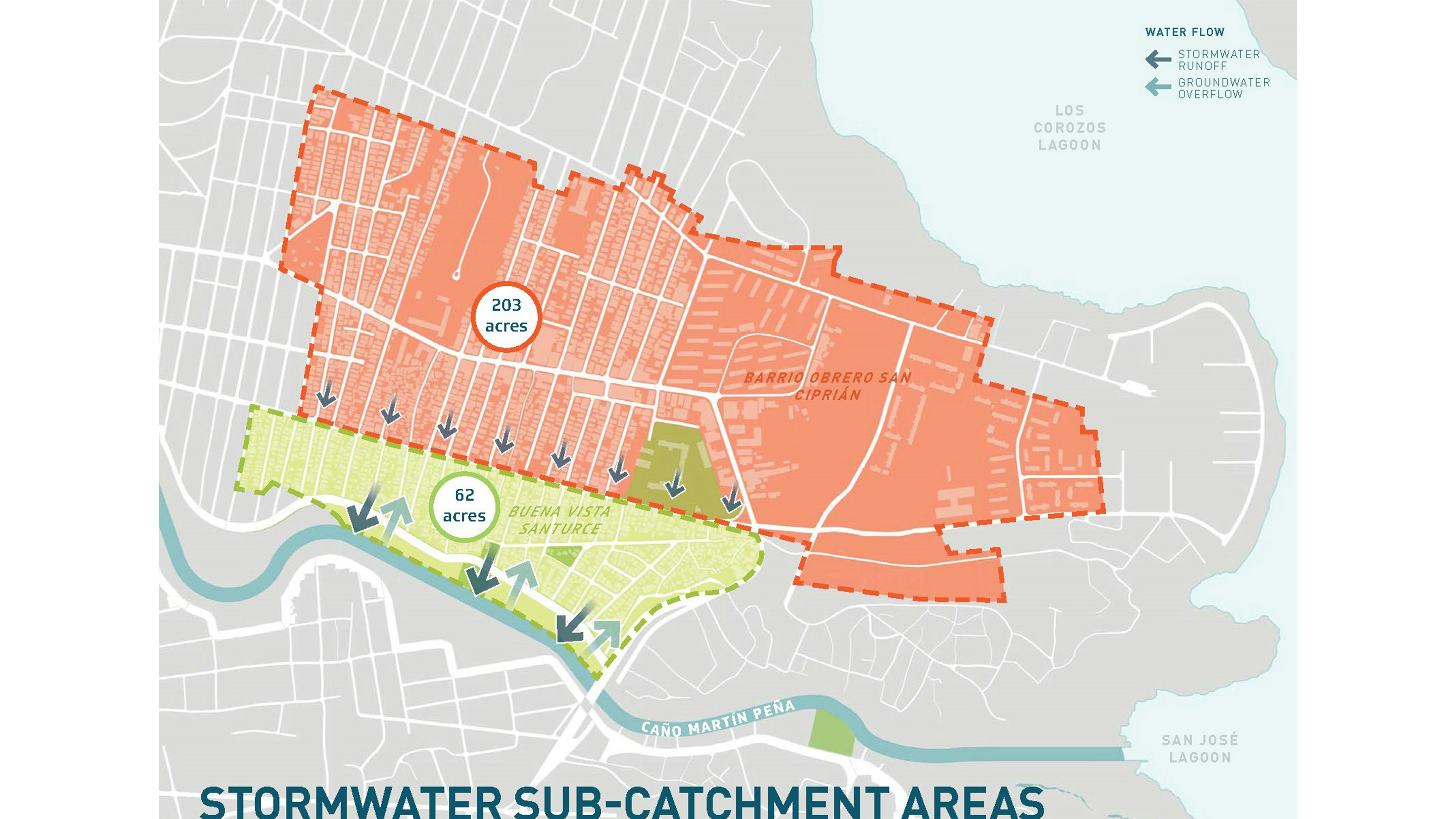
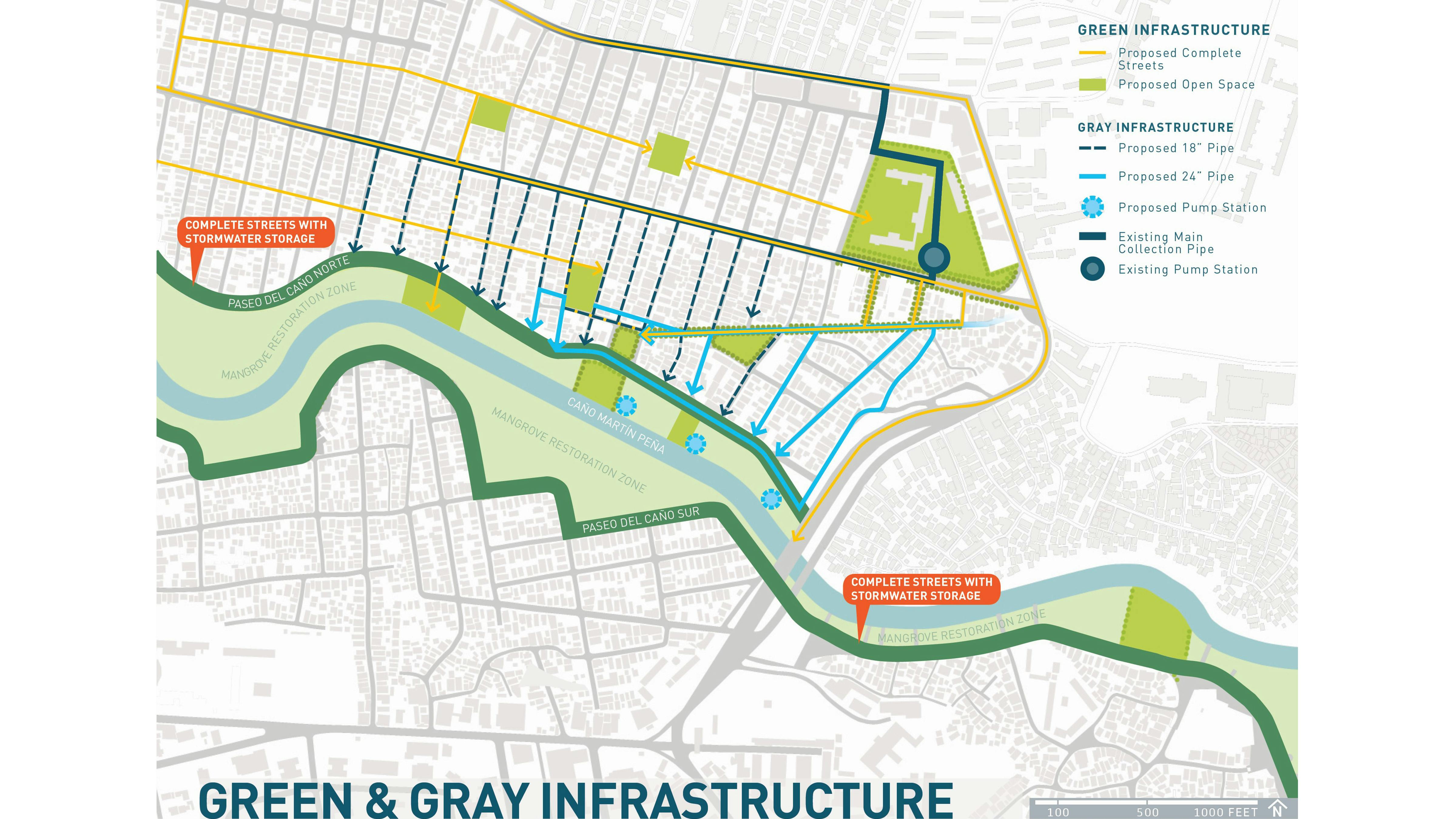
This EPA design assistance was intended to complement the existing efforts of ENLACE Caño Martín Peña Restoration Project, an innovative environmental justice and social transformation initiative to restore an estuary channel in the heart of San Juan, Puerto Rico. Buena Vista Santurce is a community in the heart of San Juan, Puerto Rico. Settled informally in the mangrove wetlands of the Caño Martín Peña (CMP) in the early 1900s, the neighborhood lacks critical infrastructure—sanitary sewer systems, storm drainage systems, flood protection, access to public open spaces, among others. Repetitive flooding by contaminated water has serious health impacts on the residents, especially the children. As a part of the long-term environmental restoration of the channel, this project proposes a series of interconnected water plazas and green infrastructure interventions to clean the water and reduce flooding, while also creating a framework of civic open spaces to strengthen the social fabric of the eight communities surrounding the CMP.
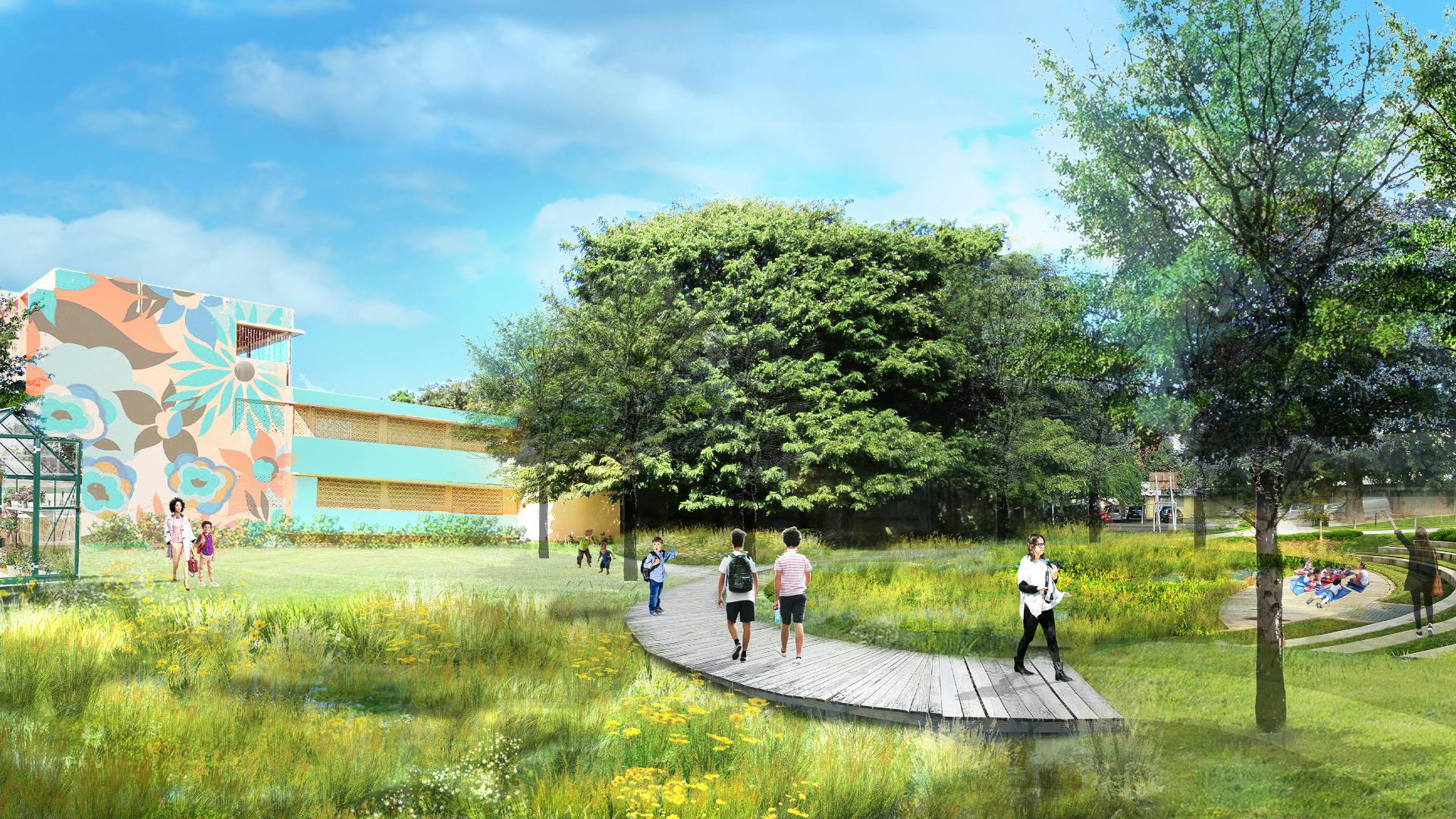
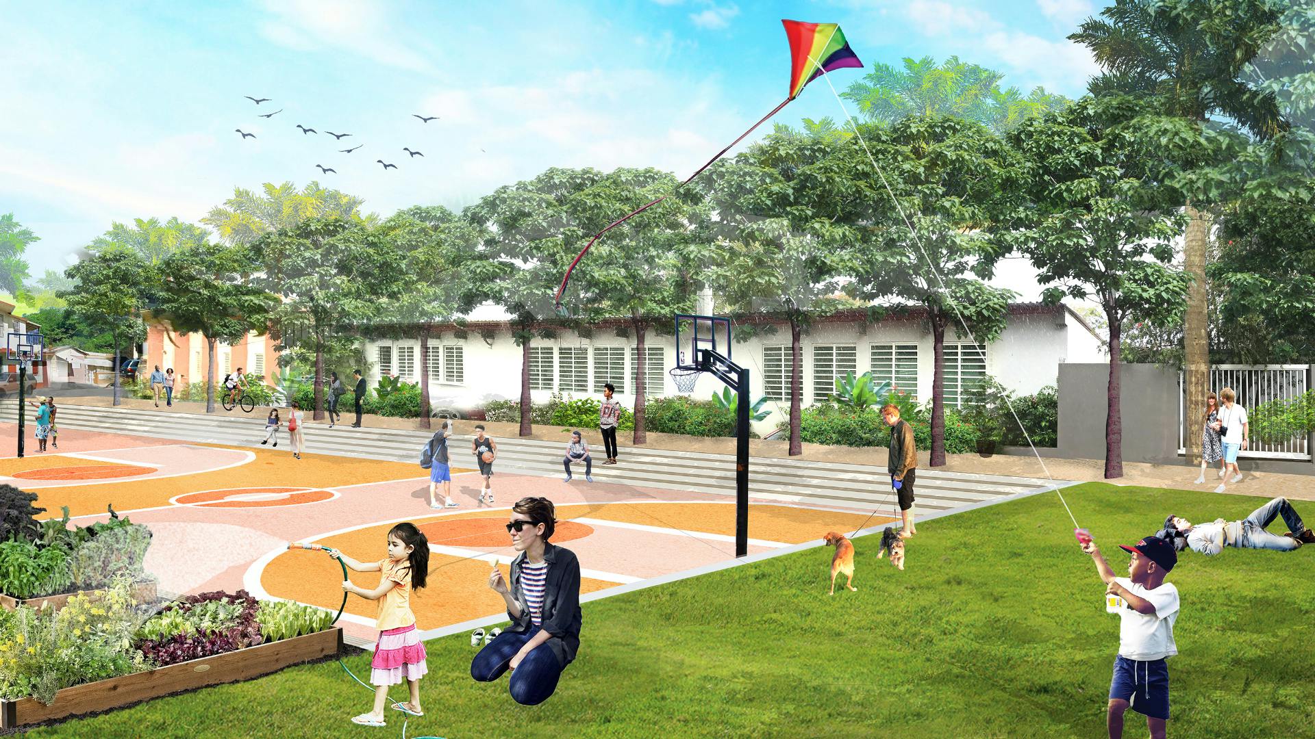
In close collaboration with ENLACE and the EPA, SMM developed a landscape framework for one of the 8 neighborhoods—Buena Vista Santurce—as the first step toward implementation of the green infrastructure and open space components in the larger plan. A series of workshops were held with the community and stakeholders to identify the needs and aspirations of residents and local agencies with respect to the design of public spaces. The design team developed design options for six interconnected sites, each representative of a type of open space (a park, plaza, or corridor) that can be located throughout the larger Caño Martín Peña district. Three of the project sites are located directly alongside the channel and include open space for recreational activities and access directly to the water. The other three sites are connected to the Caño Martín Peña and each other by green and complete streets.
